 ReefNav
Yeppoon fishing forecast & tide times
Yeppoon is a coastal spot on the Queensland reef coast at 23.136° S, 150.747° E. Wind, sea and tide times below, and the live map one tap away.
Open Yeppoon on the map →Conditions at Yeppoon
Loading the current forecast…
Wind is BLEND‑NQ, ReefNav’s own blend of six global models — ECMWF, ECMWF AIFS, GFS, ICON, GEM and UKMO — bias‑corrected against the nearest weather station’s own last 40 days.
Tide times near Yeppoon
Official high and low tide predictions for Yeppoon for the next seven days, taken from the Bureau of Meteorology gauge 2 nm away at Rosslyn Bay, the nearest to this spot. Heights are metres above LOWEST ASTRONOMICAL TIDE.
Loading this week’s tides…
Tide predictions © Commonwealth of Australia, Bureau of Meteorology; published by The State of Queensland (Department of Transport and Main Roads).
Reefs and cays within reach
- North West Island54 nm
- Heron Island67 nm
- Lady Musgrave Island102 nm
- Gannett Cay117 nm
- Lady Elliot Island123 nm
- Creal Reef157 nm
Nearby forecasts
Marine Park zoning at Yeppoon
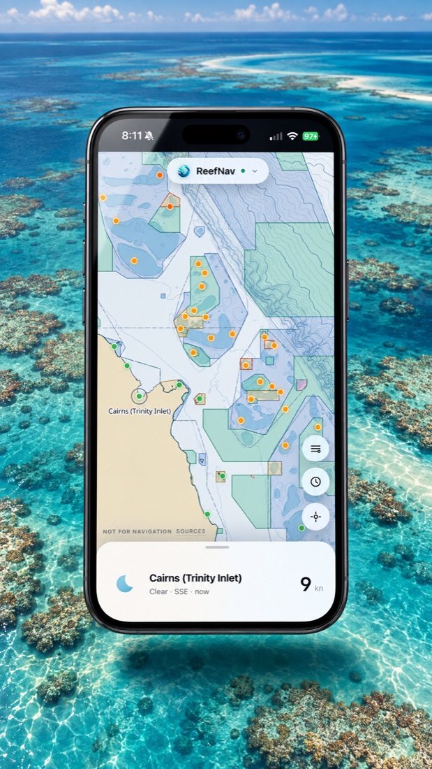
Most of this coast sits inside the Great Barrier Reef Marine Park, and the zone you are in decides whether you can fish, and how. Green (Marine National Park) zones are no‑take. Yellow (Conservation Park) zones allow limited line fishing. Dark blue (Habitat Protection) zones allow fishing but no trawling or netting. Light blue is General Use.
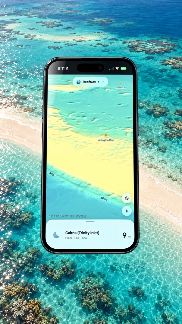
ReefNav draws all of it on a nautical chart we built ourselves from open GBRMPA and Maritime Safety Queensland data — zoning, depth contours, spot soundings, navigation marks and boat ramps on one chart, rather than cross‑referencing a zoning PDF against a paper chart.